Explore Our Aerial Real Estate Portfolio


Elevating Real Estate Perspectives
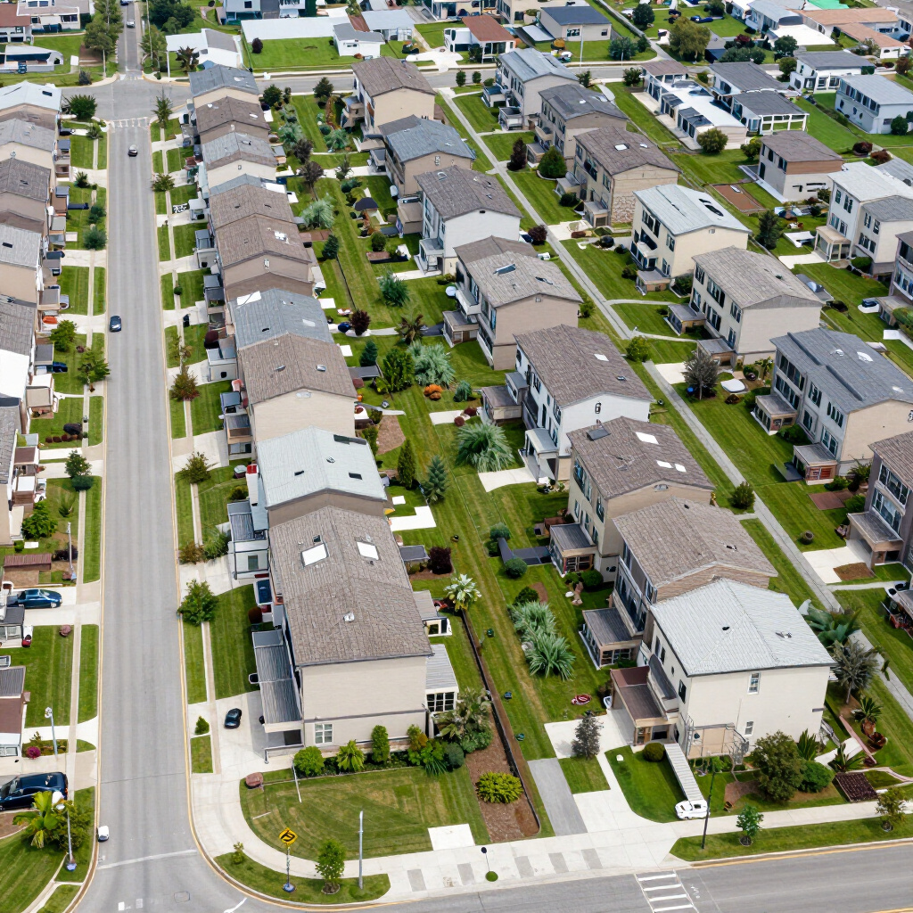
Site Analysis & Mapping
Comprehensive visual documentation for property management, providing accurate site surveys and high-resolution maps for planning and maintenance.
Essential Aerials
$149
Perfect for vacant land lots and budget-conscious residential listings.
- 10 to 15 High-Resolution Aerial Photos
- Professional Color Correction
- 24-Hour Turnaround Time
- FAA Part 107 Certified & Fully Insured
Simple, Transparent Pricing for Real Estate Pros
Choose the package that fits your listing. No hidden fees, no surprises.
MOST POPULAR
The Social Seller (Most Popular)
$249
Our most popular package. Everything you need to market a standard residential home on the MLS and social media.
- Features Included:
• 15+ High-Resolution Aerial Photos
• 60-Second Cinematic Promo Video
• Optimized for Instagram, Facebook, and Zillow
• 24-Hour Turnaround Time
• FAA Part 107 Certified & Fully Insured
The Listing Dominator
$399
Designed for luxury listings and high-end properties that need to stand out from the crowd.
- All Features in The Social Seller Package
- Premium Cinematic Video Editing with Motion Graphics
- 2 Virtual Twilight Aerial Photos (Day-to-Dusk editing)
- Priority Processing & Delivery
- Dedicated Property Webpage for MLS
ELEVATED PERSPECTIVE
Redefining Real Estate Through the Lens of the Sky
Michiana Sky Views provides premium aerial photography and cinematic video tours that transform property listings into immersive visual experiences. We combine advanced drone technology with an editorial eye to capture architecture and landscapes in high definition, offering real estate agents and property managers a distinct competitive edge in today's visual-first market.
Get in Touch with Michiana Sky Views
Ready to see your property from a fresh perspective? Contact us today to learn more about our aerial photography and cinematic video tours across the Michiana region.
Direct Phone
(630) 370-1750
Email Inquiries
hello@michianaskyviews.com
Service Region
Proudly serving South Bend, Chicago, and the entire Michiana area.