top of page
Agricultural Land Aerial Assessment
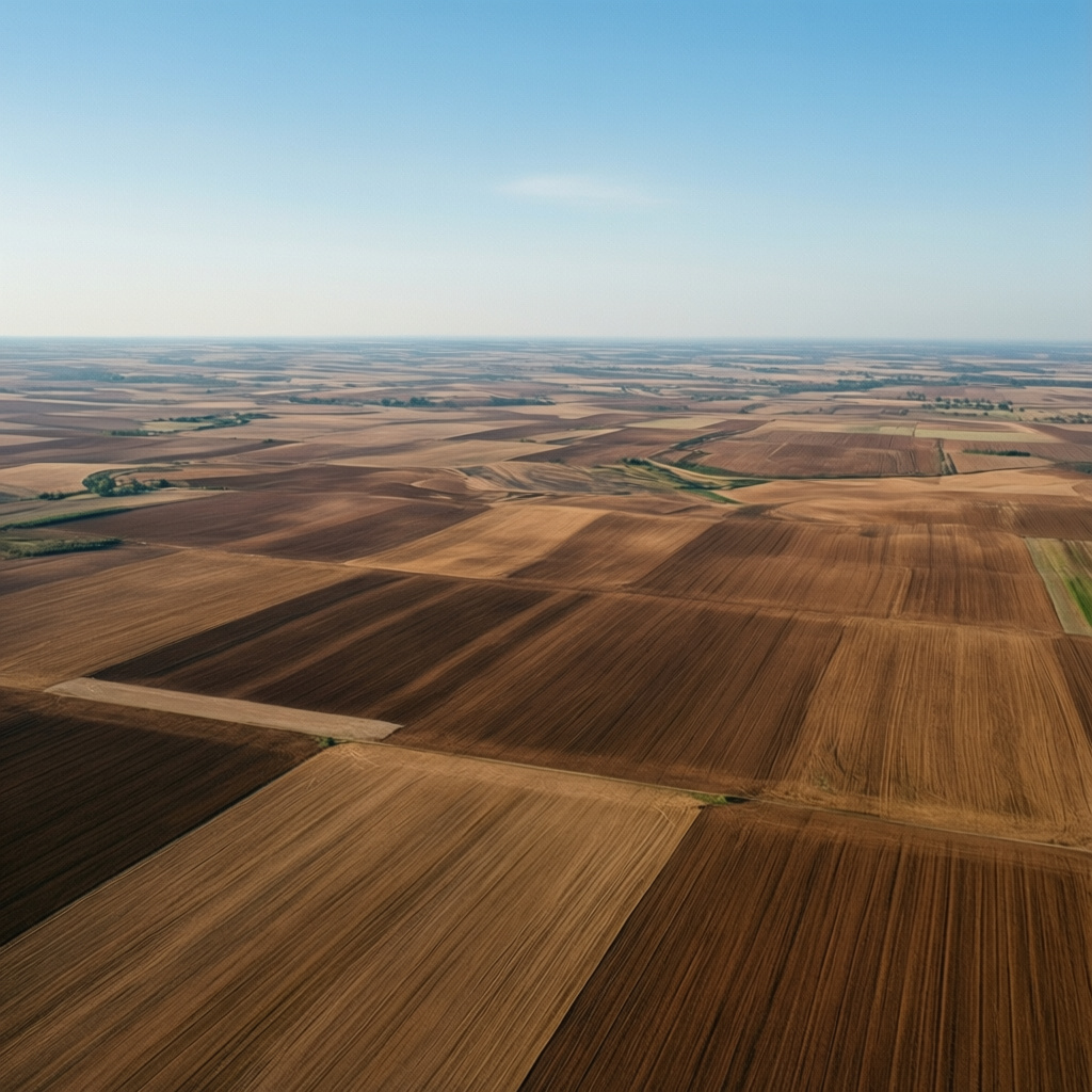
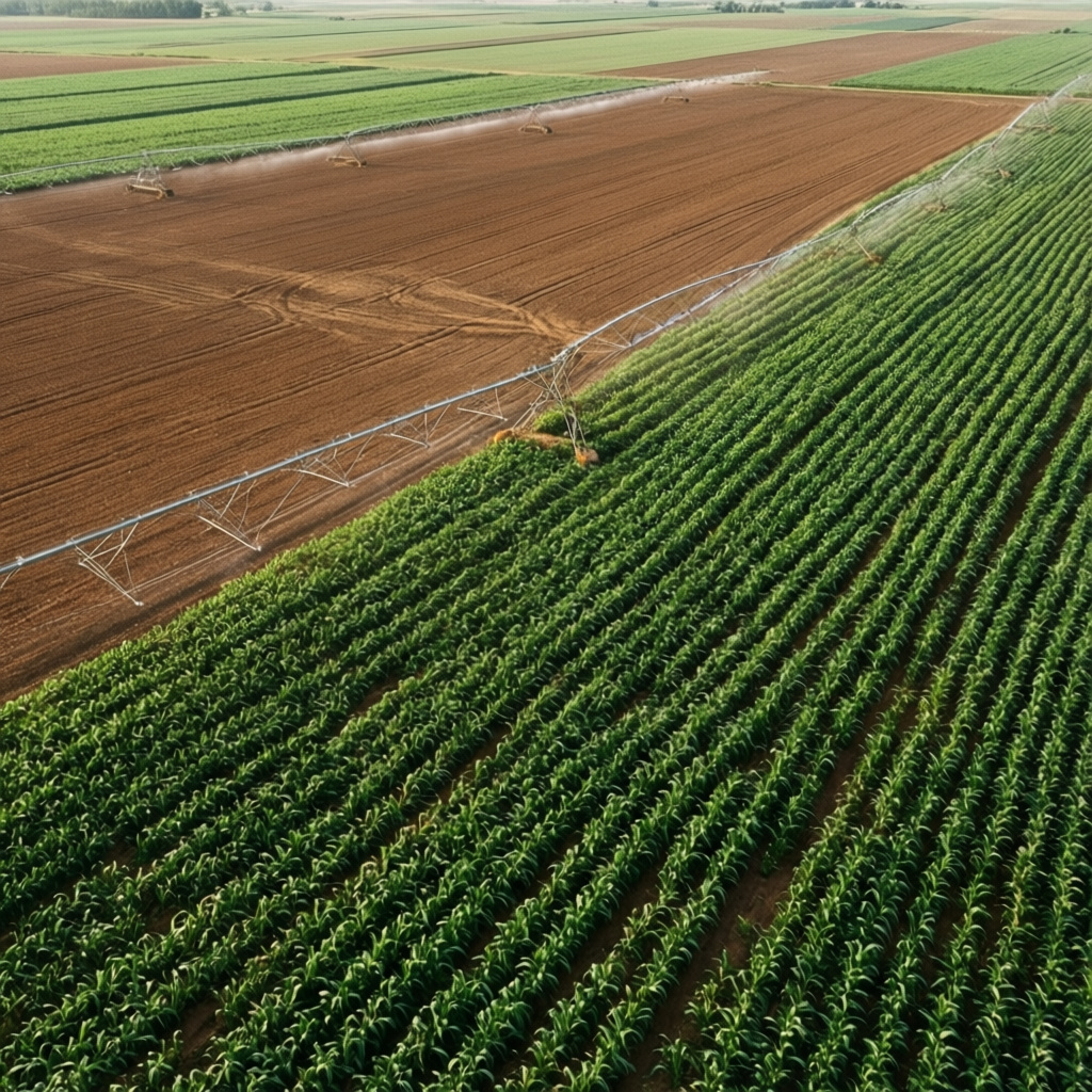
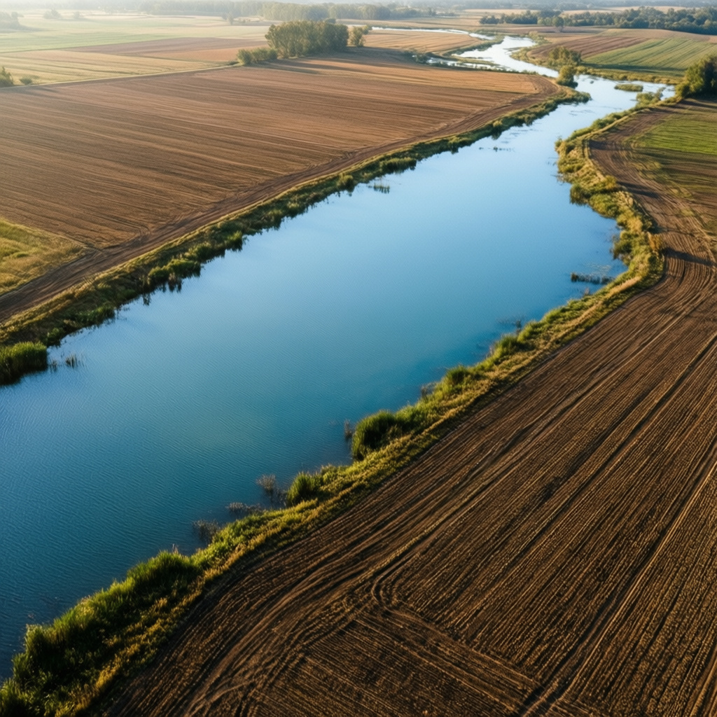
Detailed aerial photography and mapping for agricultural land. This project provides essential visuals for assessing crop health, land features, and potential for development or sale, serving property owners and managers.

01
Agricultural Land Aerial Assessment


bottom of page